Ludham
|
These aerial photographs were from taken on several flights around the village of Ludham, including Ludham Bridge, Womack Water and St Benet's Abbey. Tap the thumbnails below to view the full size photographs. |
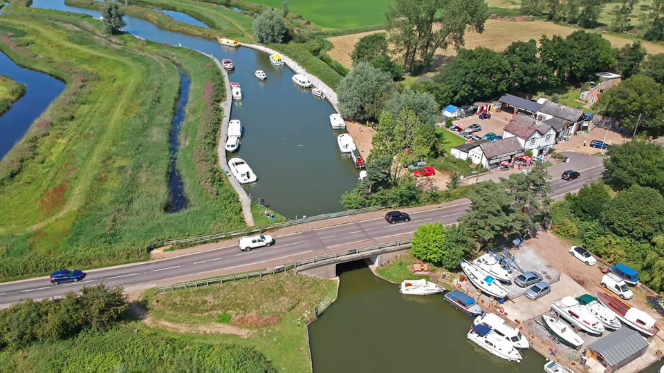
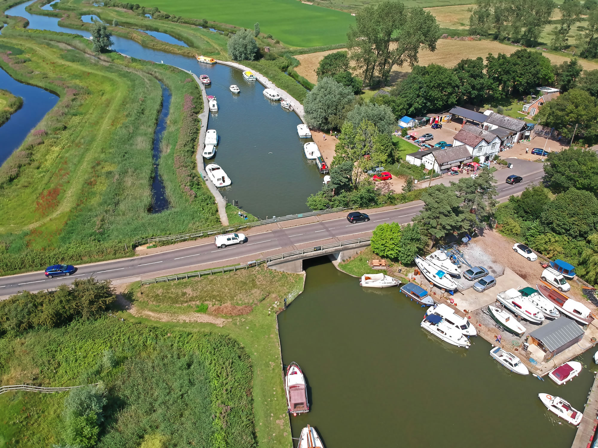
Ludham Bridge, looking north up the River Ant.
|
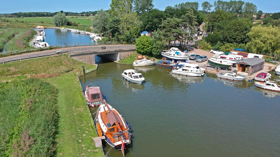
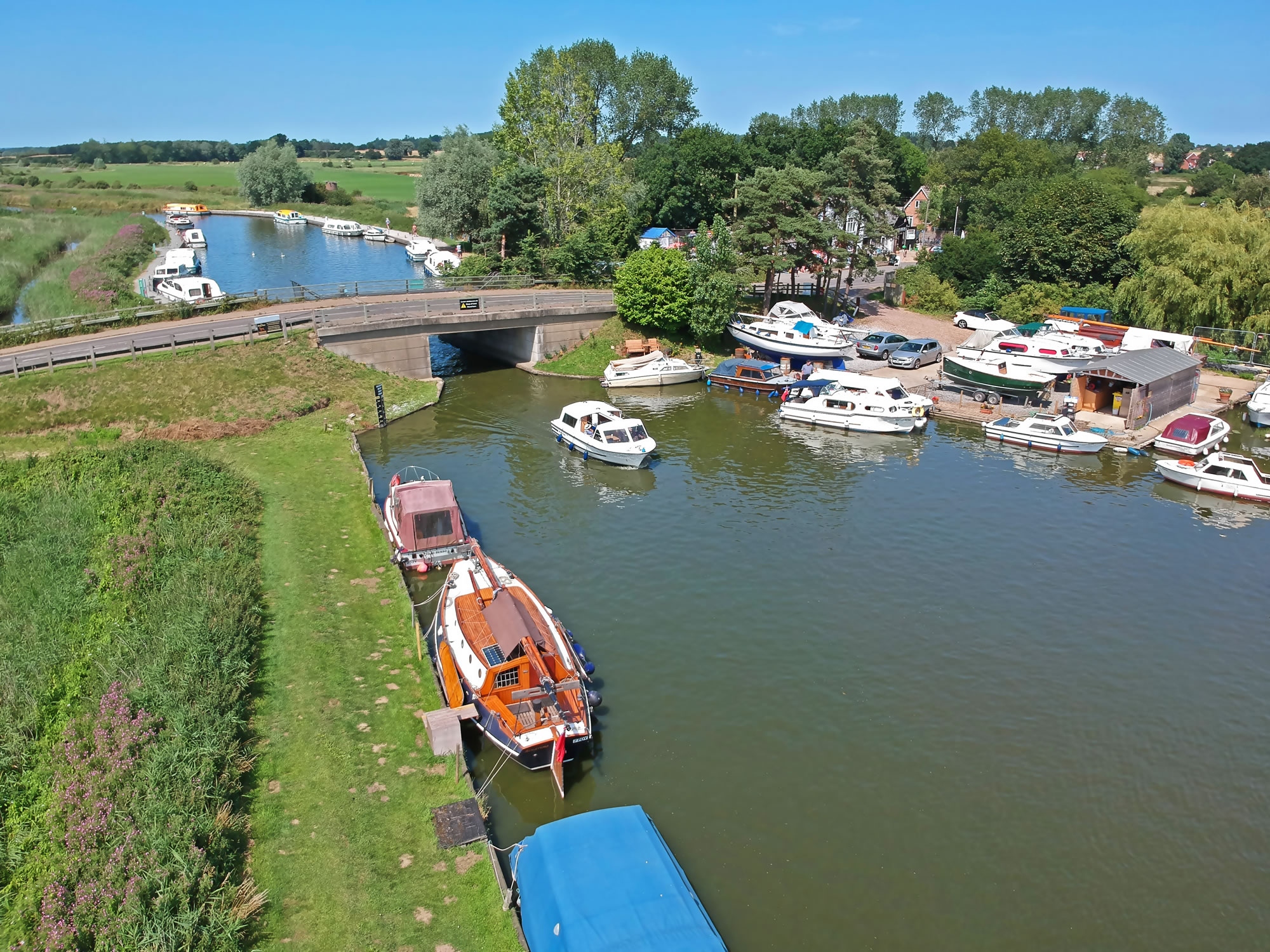
Ludham Bridge, from the boatyard side!
|
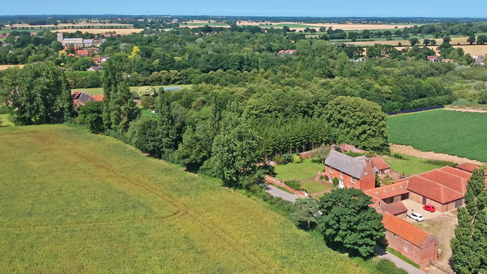
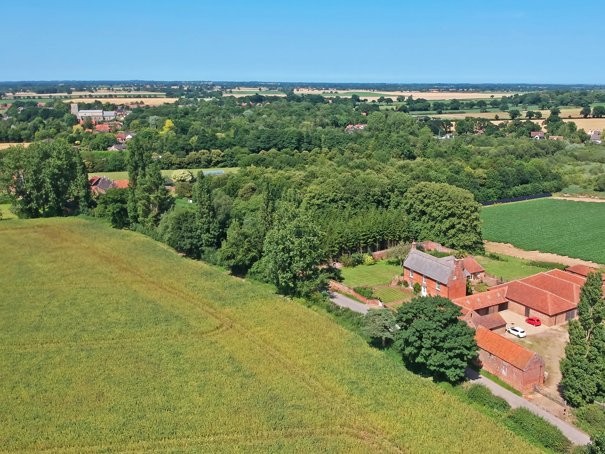
Ludham as seen from the south
|
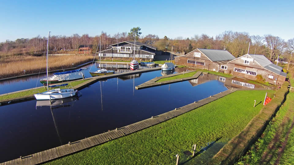
The sheds of Hunters Yard, located just off Womack Water.
|
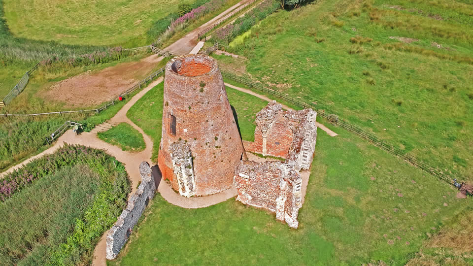
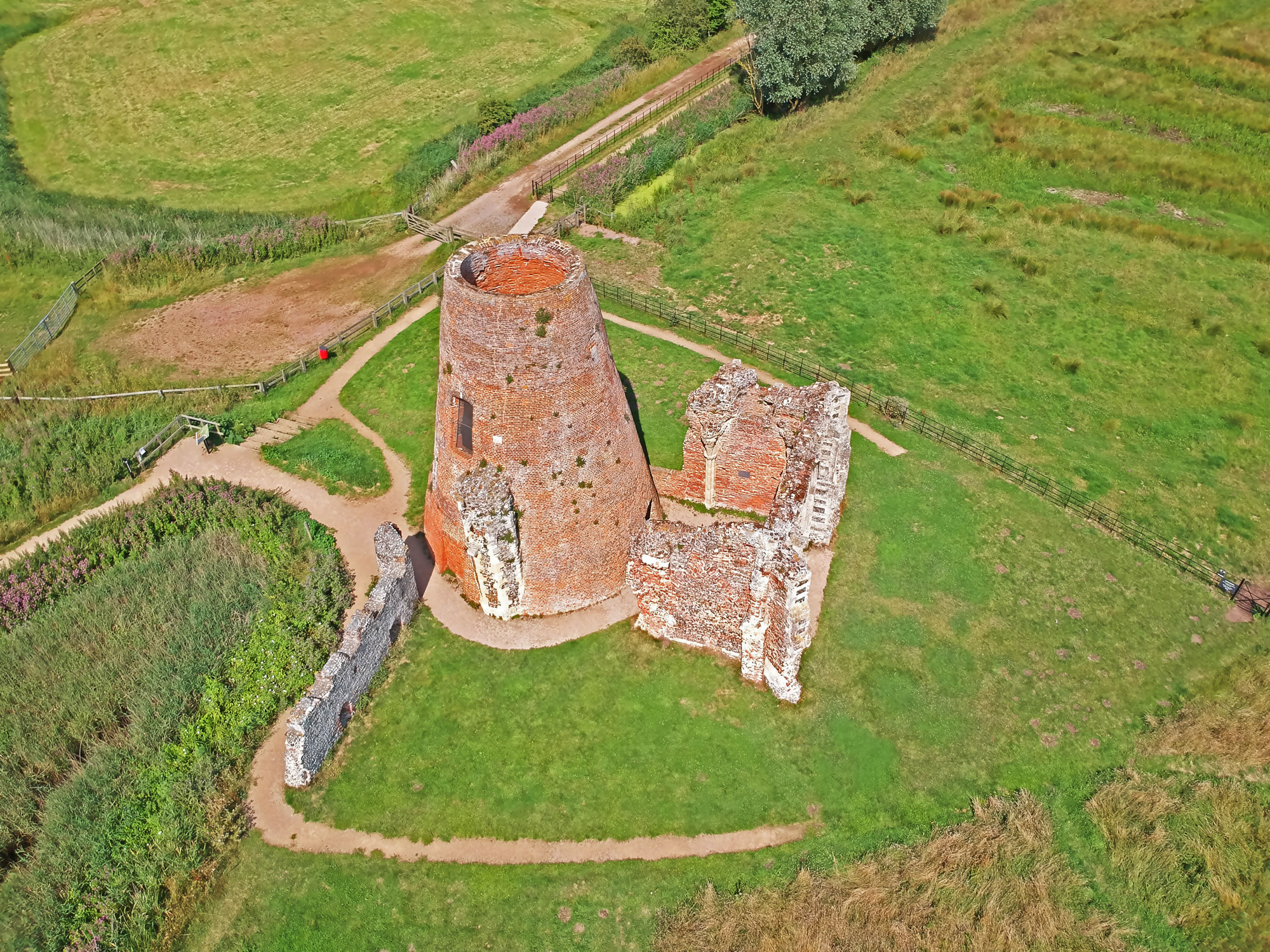
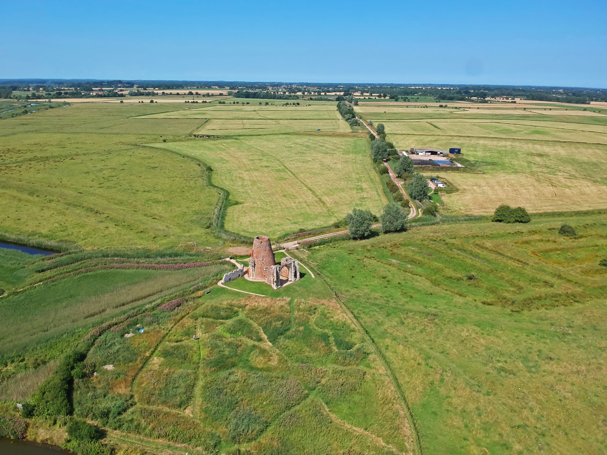
St Benet's Abbey. The remains of a windmill situated inside what is left of the Abbey.
|
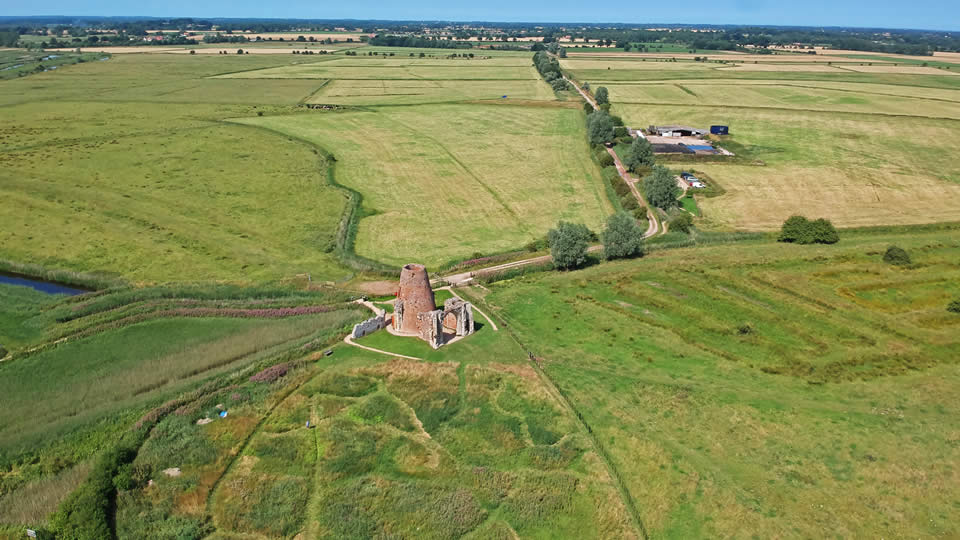
The site of St Benet's Abbey, clearly showing the foundations of other parts of the Abbey as imprints in the grass.
|
|
|
|
|