|
 |
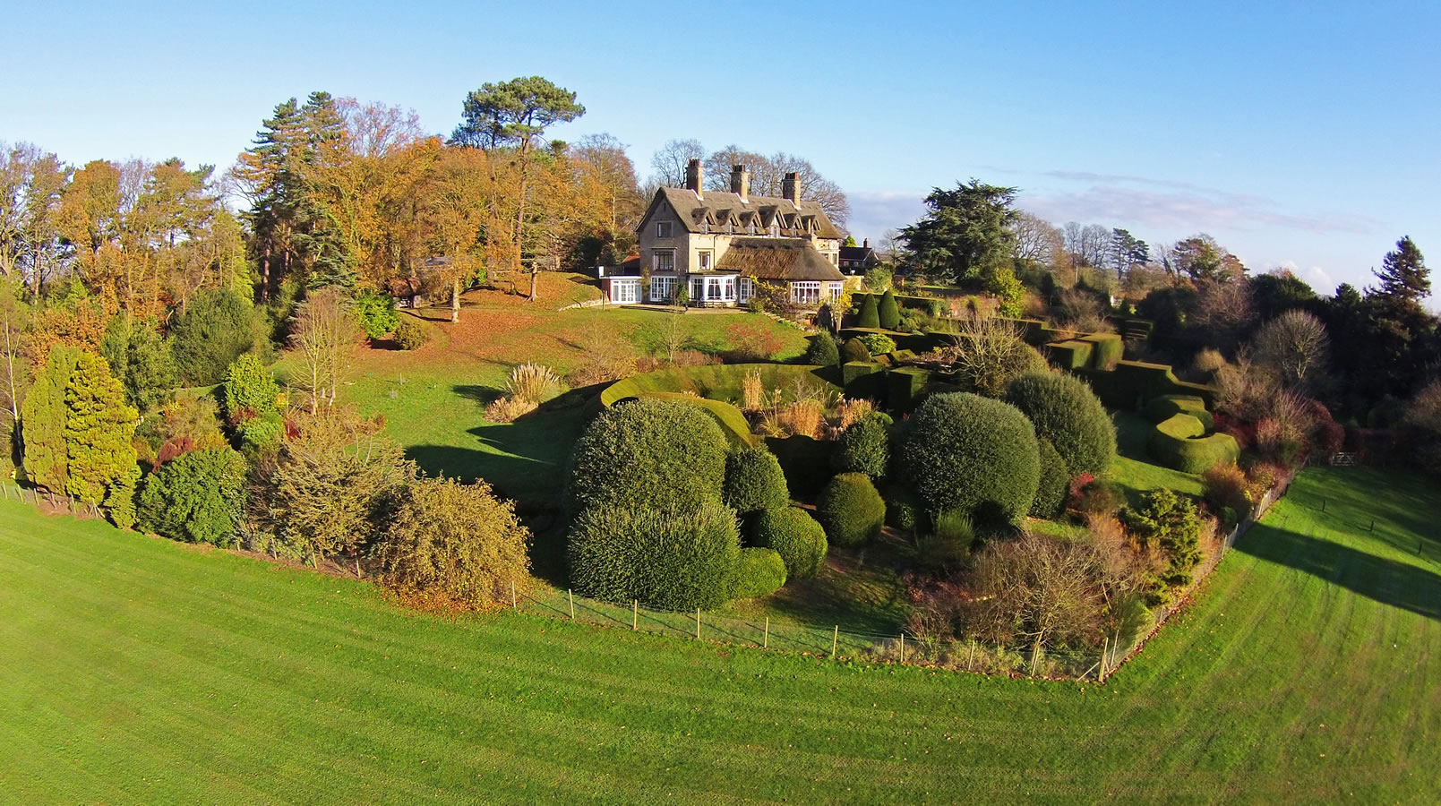
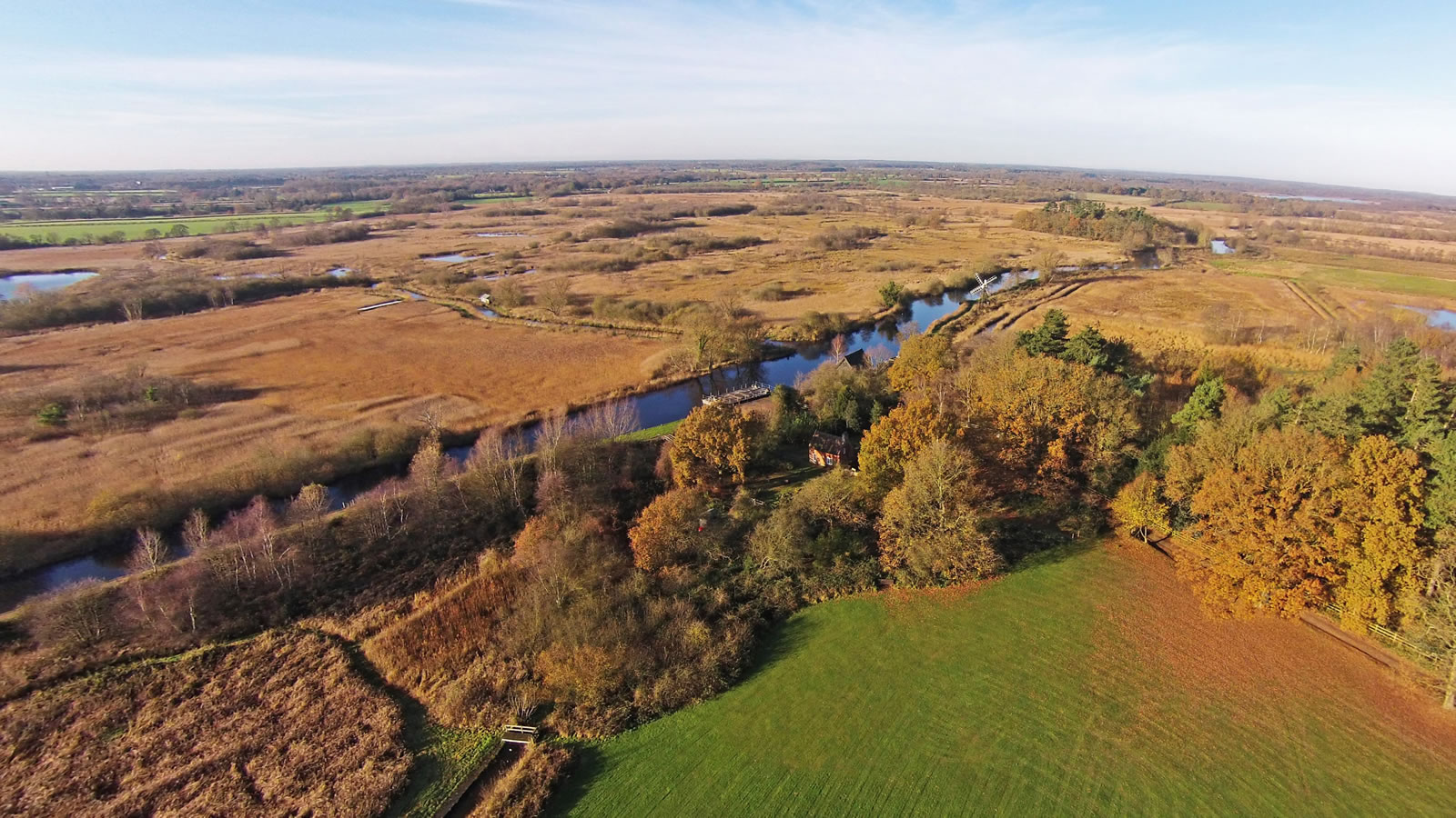
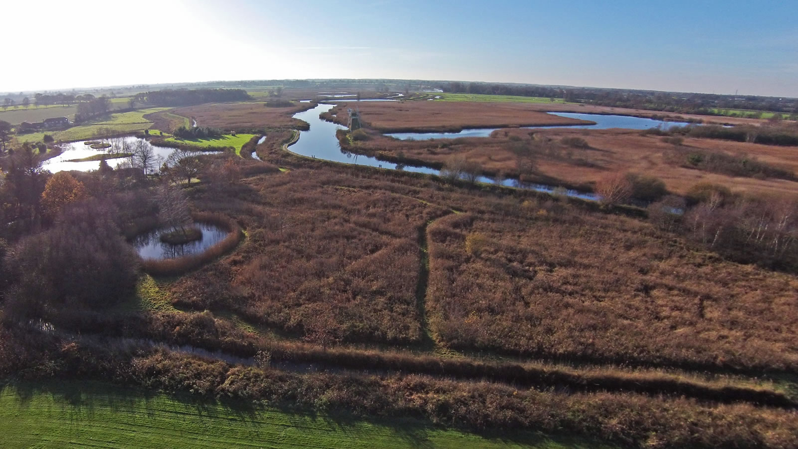
How Hill Estate |
||||
These aerial photographs were from taken on several flights around the How Hill Estate in winter. Tap the thumbnails below to view the full size photographs. |
||||
|
||||
Please note that all the content on this website is copyright Aerial Norfolk. However, we will consider the free use of our pictures in your own publications, but you MUST contact us and ask for permission first. See also our Privacy and Safety Statement and Aerial Norfolk Sitemap. |
||||