Aerial Norfolk
Previous Slide Next Slide

Barton Broad

These aerial photographs were from taken on several flights around Barton Broad and the surrounding Norfolk Broads villages. Barton is the second largest of the Norfolk Broads and is a popular location for all kinds of water based recreation, including sailing and fishing. Tap the thumbnails below to view the full size photographs.
Staithe Road
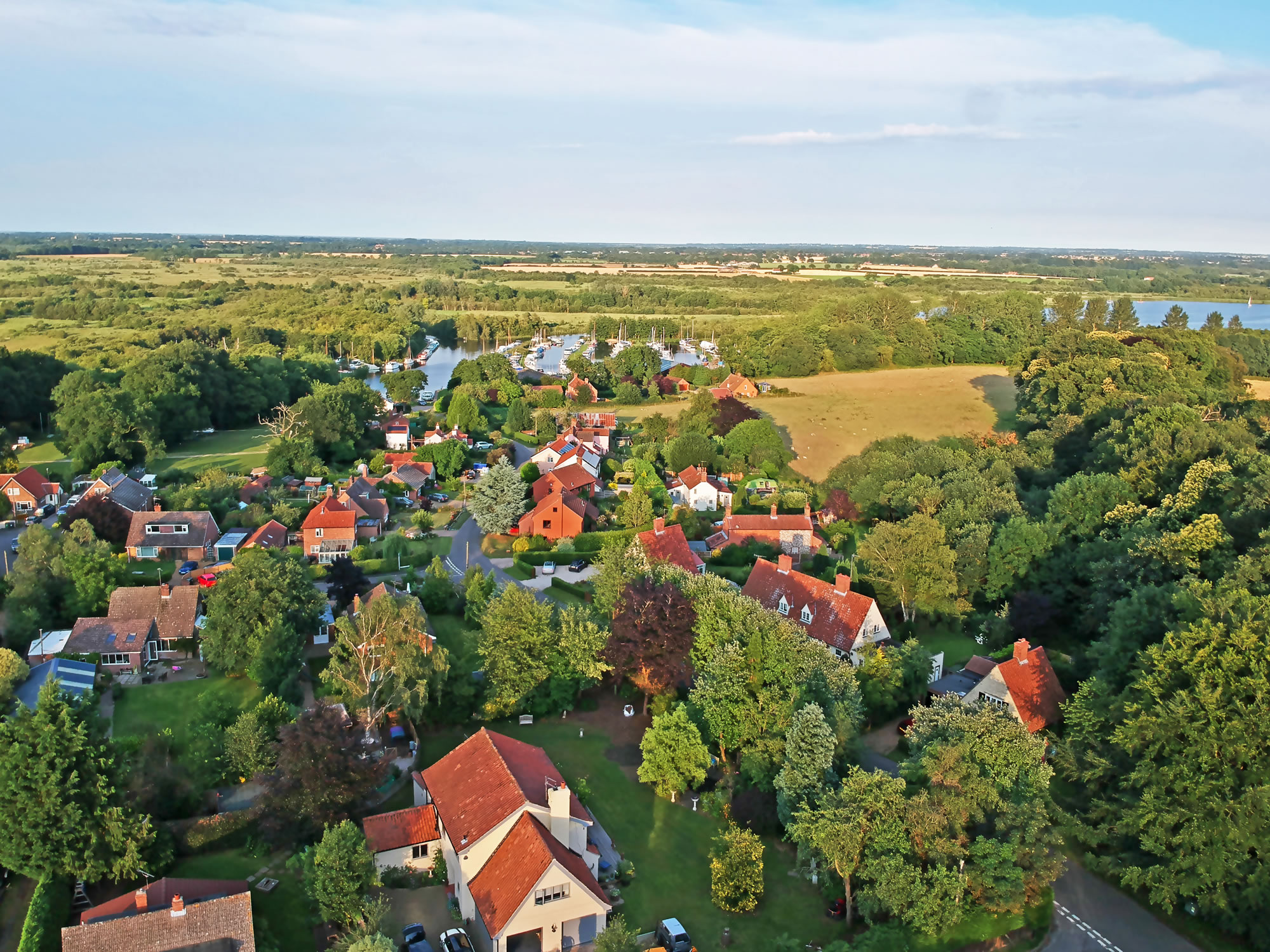
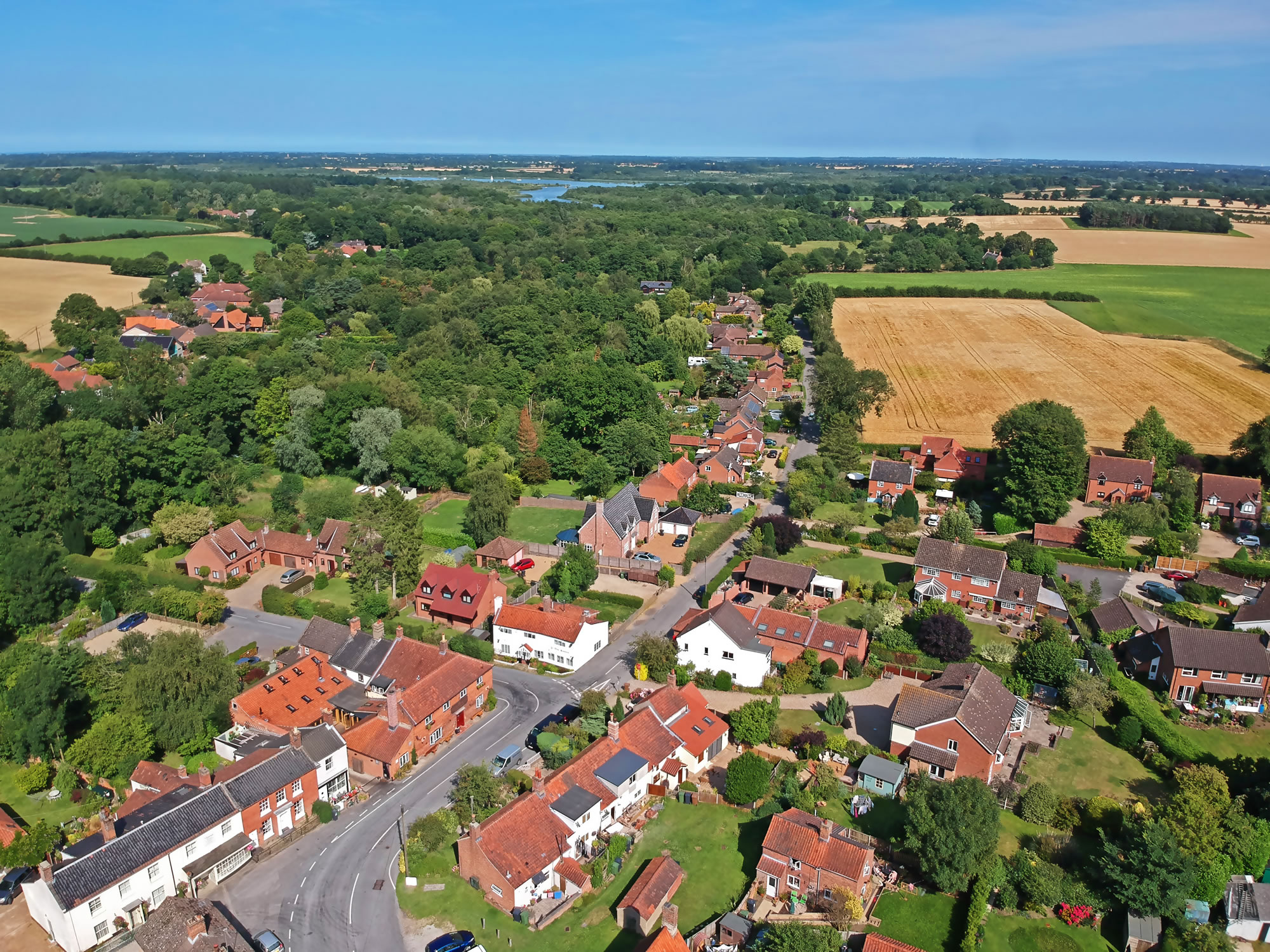
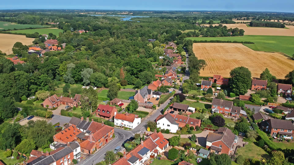
A view looking towards the village of Barton Turf, from the bottom of Staithe Road.
Barton Turf
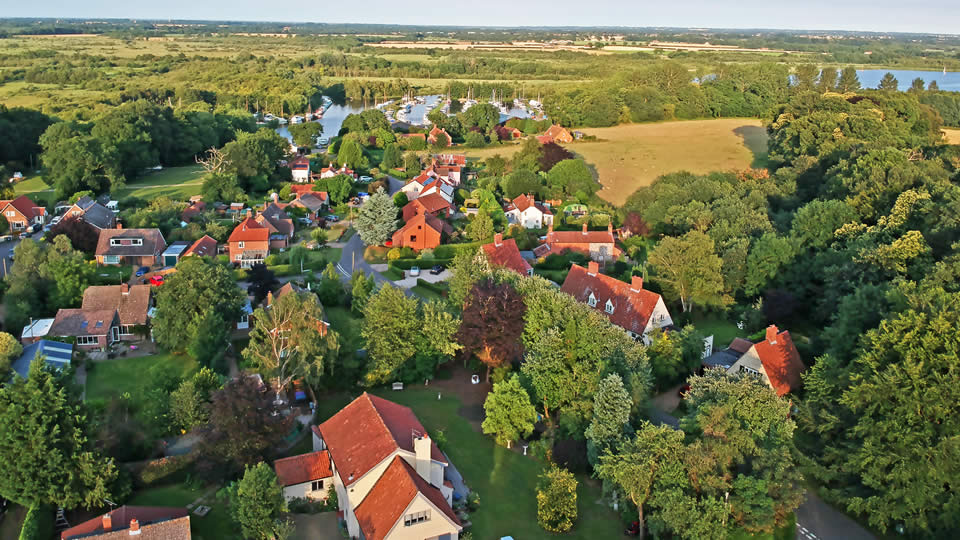
The lovely village of Barton Turf at the northern end of Barton Broad.
Coxs Boatyard
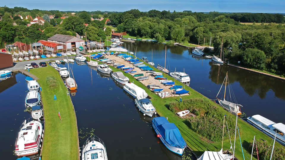
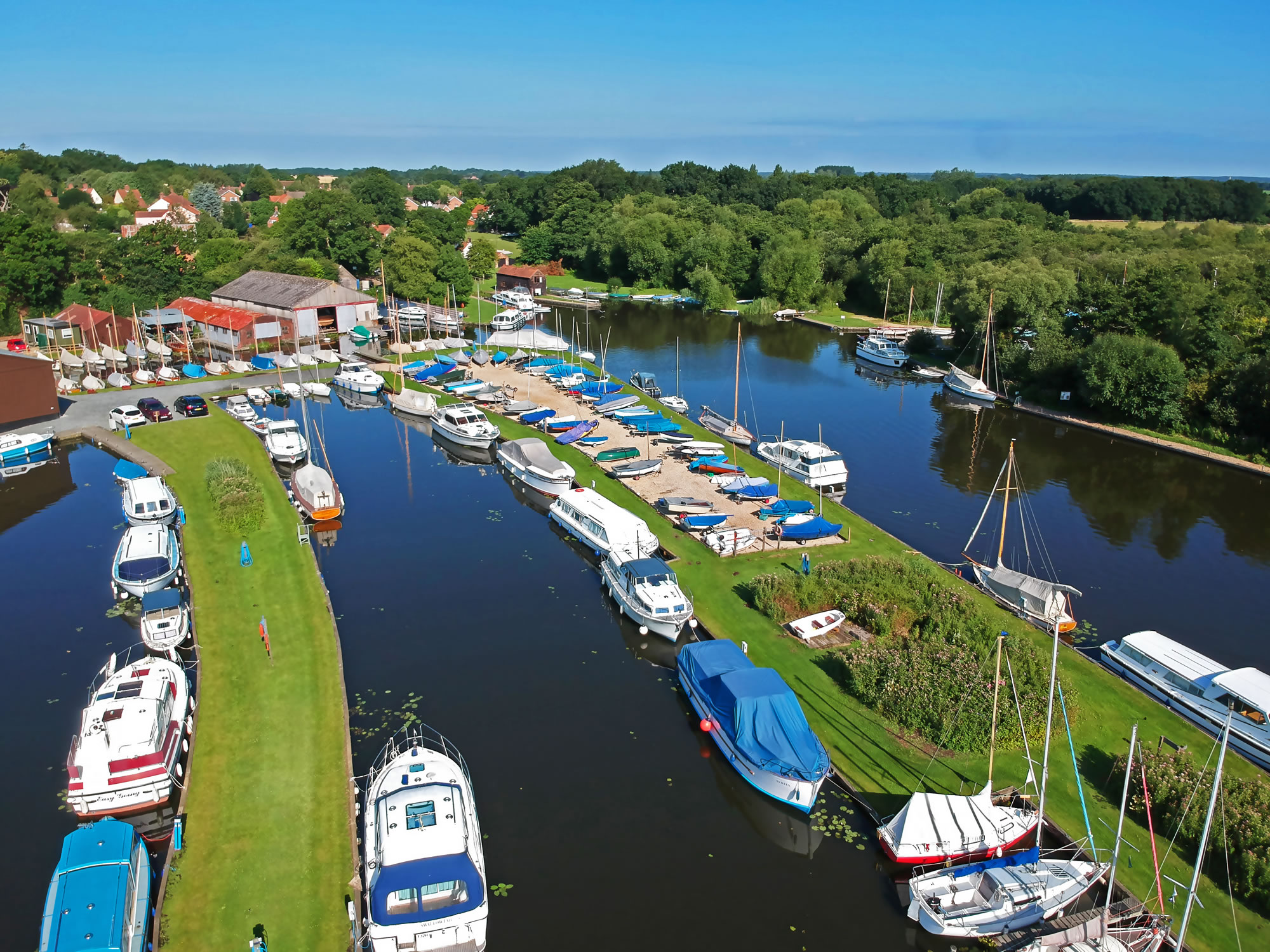
A view over Cox's Boatyard, looking towards Barton Turf staithe and village.
Barton Turf Parish Moorings
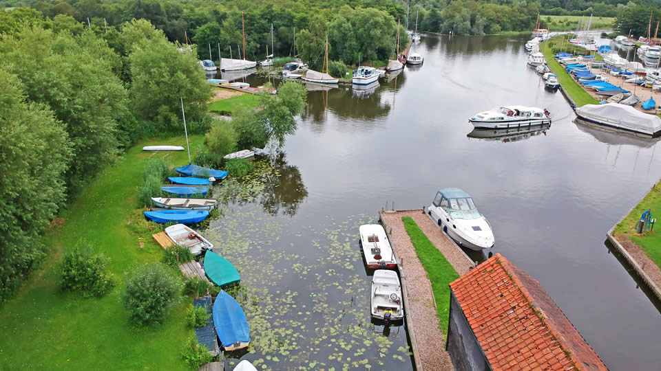
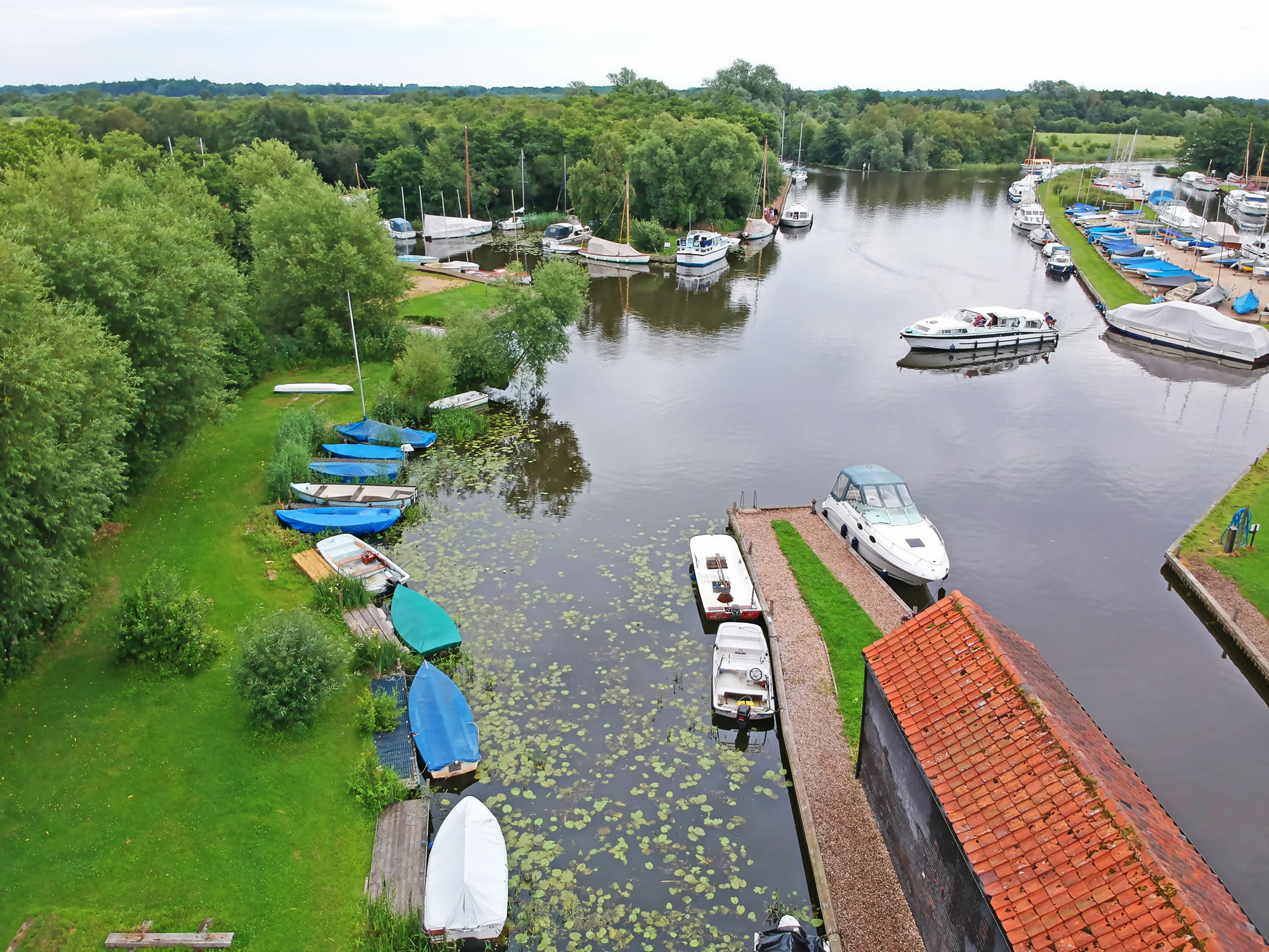
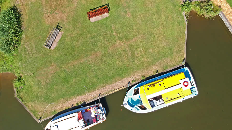
The parish moorings at Barton Turf, used by those living in the village to moor their boats.
Barton Broad
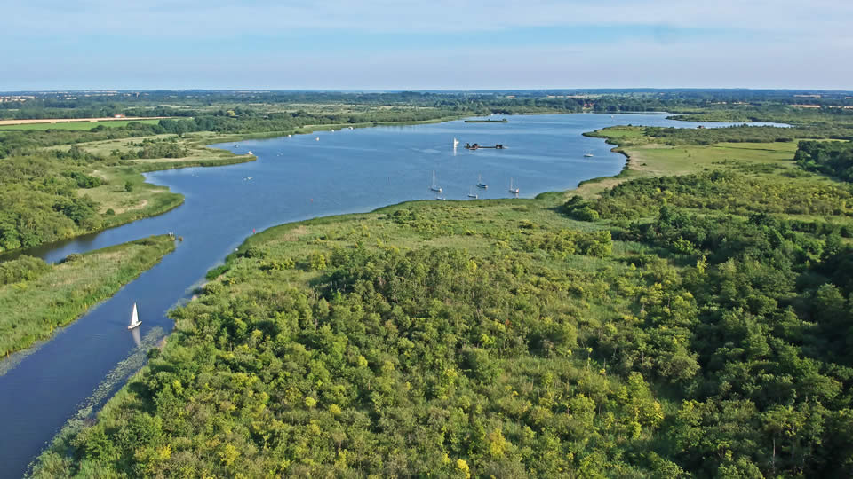
Barton Broad as seen from the north end.
Coxs Boatyard Yachts
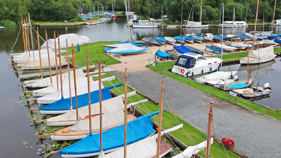
Yachts moored in Cox's Boatyard at Barton Turf.
Neatishead
Neatishead village looking east towards Barton Broad
Irstead Staithe
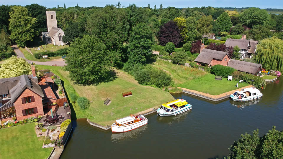
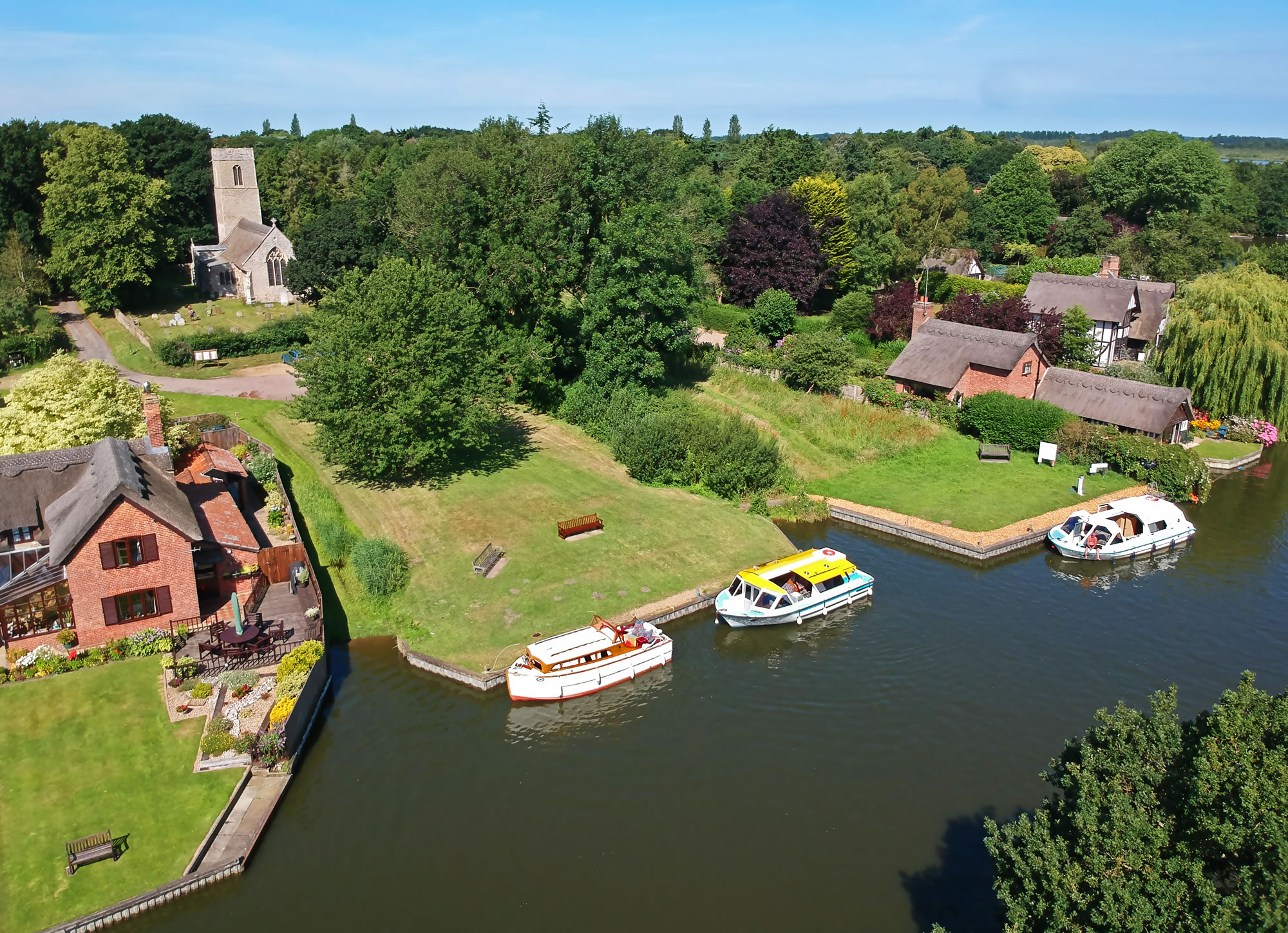
A view over Irstead village and staithe.
Irstead Church
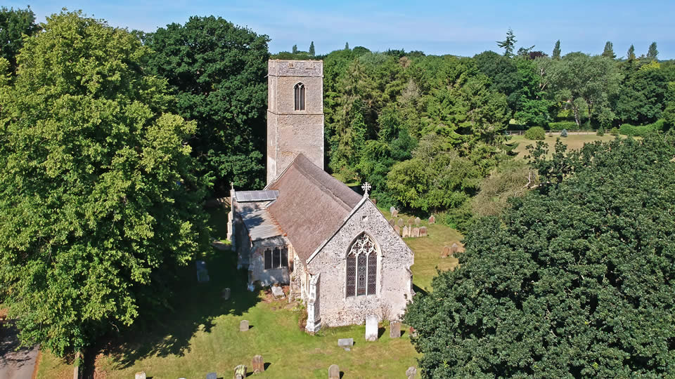
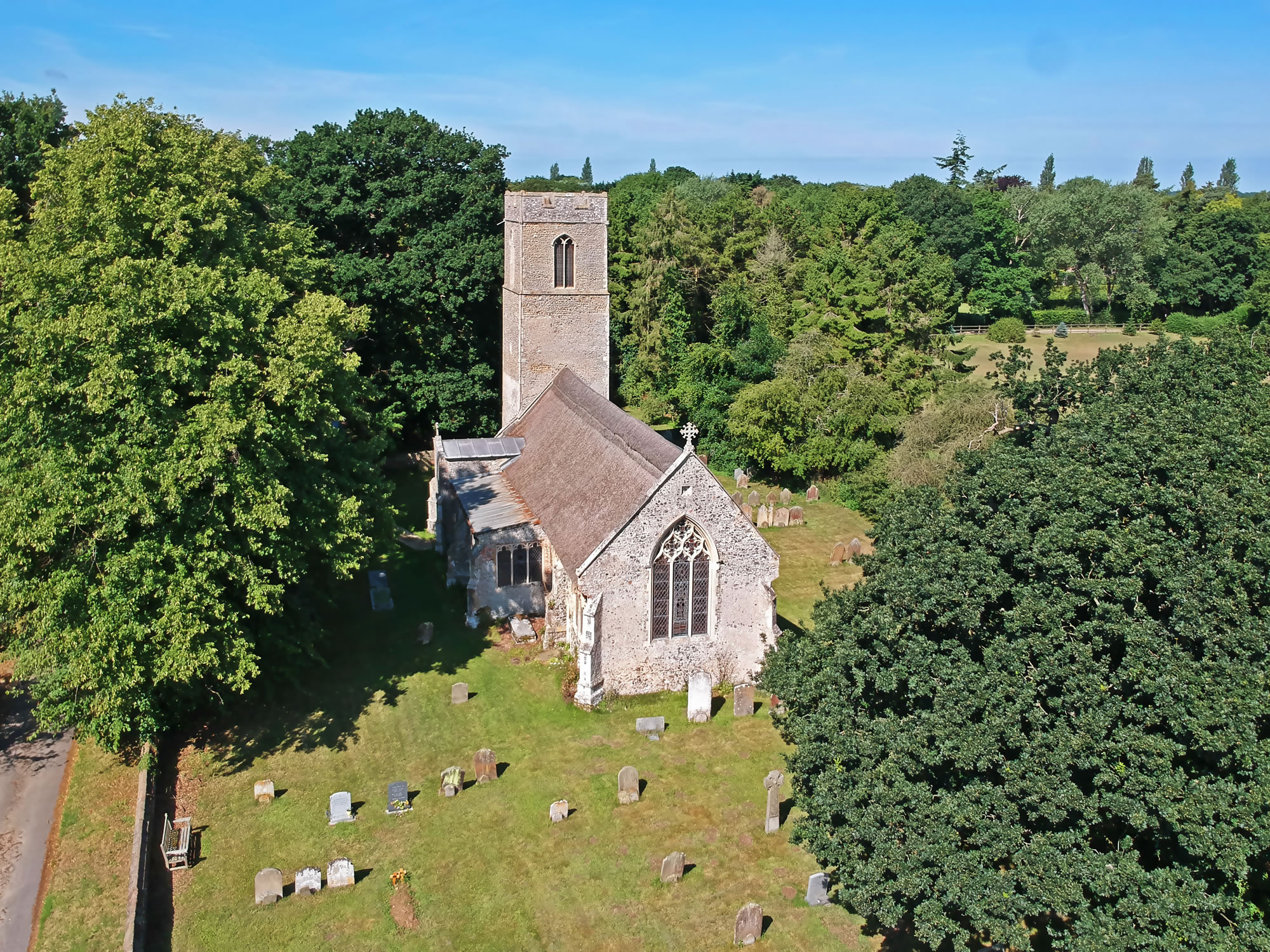
The parish church of St Michael in Irstead.
Irstead Staithe
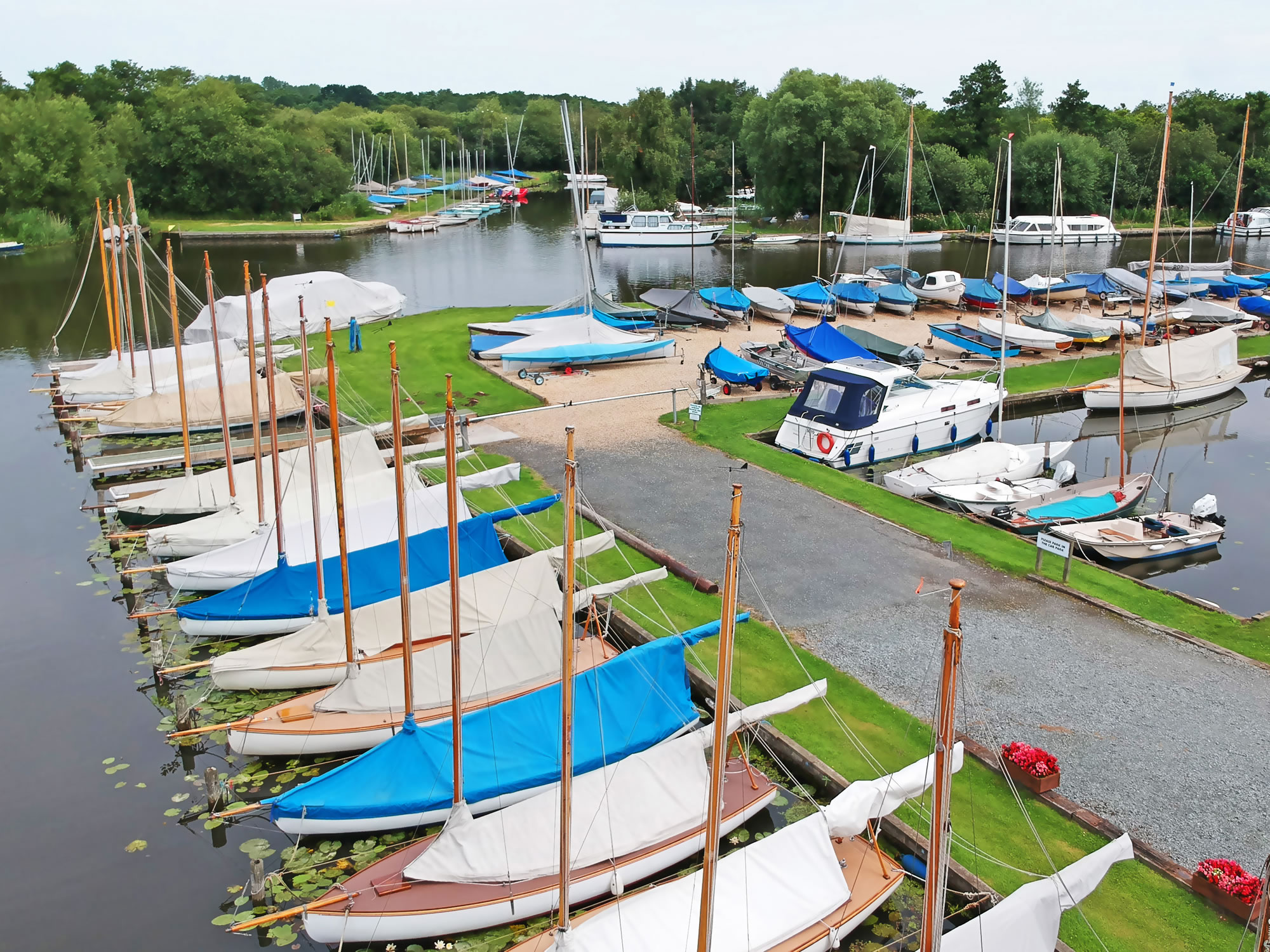
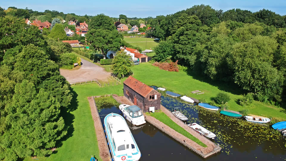
Birds eye view of boats moored at Irstead Staithe.
Please note that all the content on this website is copyright Aerial Norfolk. However, we will consider the free use of our pictures in your own publications, but you MUST contact us and ask for permission first. See also our Privacy and Safety Statement and Aerial Norfolk Sitemap.